Itinerary
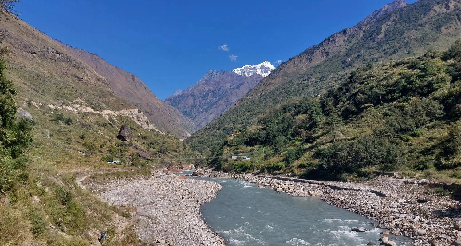
In tegenstelling tot conventionele trektochten in de regio's Everest en Annapurna is de Manaslu trektocht ongerept en ideaal voor trekkers die liever door schilderachtige gebieden navigeren, ver weg van de horde andere mensen. Speciaal ontworpen om de serene schoonheid van de Manaslu regio te verkennen; onze Manaslu Rondtrekking loopt rond Mt. Manaslu, 's werelds 8e hoogste top, die door klimmers wordt gezien als een van de zwaarste bergen om te bedwingen. Ondanks de toenemende populariteit als gevolg van de vestiging van theehuizen in 2010, pronkt de trekkingroute, die inderdaad afgelegen en buiten de gebaande paden ligt, met alle kenmerken van een paradigmatische trektocht in Nepal, zoals traditionele kloosters, een betoverend landschap met besneeuwde toppen en niet in de laatste plaats de dramatische oversteek van hoge hangbruggen.
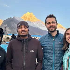
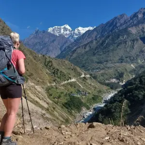
Staar naar het ontzagwekkende berglandschap terwijl je de landschappen doorkruist die zo mooi zijn als een plaatje. Deze trektocht biedt je de kans om getuige te zijn van de majesteit van Mt. Manaslu samen met zijn naburige besneeuwde toppen van Annapurna II, Shringi Himal, Cheo Peak, Kang Koru, Gyagi Kung en Himlung. De grootsheid van de natuur, de schilderachtige nederzettingen en de gemakkelijke toegankelijkheid (in vergelijking met vergelijkbare trektochten) zijn een paar van de redenen waarom bezoekers deze trektocht zo bewonderen. De trekking begint in Baseri na een mooie rit vanuit Kathmandu. Het pad loopt langs de Budhi Gandaki rivier en voert langs rustieke dorpjes, Mani stenen muursnijwerk, kleurrijke gebedsvlaggen en fascinerende bossen met dennen, ceders, berken, jeneverbessen en rododendrons. Als je door het gebied van Manaslu Conservation Area trekt, kun je talloze diersoorten tegenkomen, waaronder bedreigde sneeuwluipaarden. Bovendien kunnen mensen een gedetailleerd inzicht krijgen in de culturen, tradities en levensstijl van etnische gemeenschappen zoals Gurung, Rai, Magar en Limbu.
Ga mee met de Himalaya Trekking Path familie op deze adembenemende reis om kennis te maken met het land van mysteries en betovering!
Nuttige informatie:
Vertel het je gids als je problemen hebt tijdens je avontuur.
Respecteer de lokale cultuur
Als je foto's/video's van de lokale bevolking wilt maken, vraag dan eerst om toestemming voordat je foto's/video's maakt.
Deze trekking is niet mogelijk zonder gezelschap en gids
Beheer je afval
Het doden van dieren/vogels is ten strengste verboden
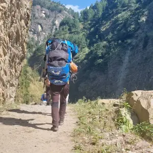
Ga aan de veilige kant/wand terwijl je ezels en lokale dragers op het pad beweegt.
Drink voldoende water tijdens de bergtocht.
Vergunningen en regels: Alles inbegrepen
Beperkte gebieden vergunning (RAP):
Manaslu Circuit Trekking Vereist speciale vergunning wordt ook wel Restricted Areas permit (RAP) genoemd. We hebben de volgende vereisten nodig om een speciale vergunning te krijgen.
Restricted Area Permit Kosten:
USD $70 eerste week en $10 per dag daarna, (sep tot november)
USD 50 Eerste week en $ 7 per dag daarna (dec. t/m augustus)
Plaats van afgifte vergunning:
Immigratiedienst
De regels:
Min 2 trekkers nodig om de vergunning af te geven
Geregistreerd bedrijf
Geregistreerde gids
Paspoort en foto's:
Origineel paspoort is vereist
4 x pp foto's
Beschermingsgebieden vergunning:
Annapurna Conservation Areas Permit (ACAP):
Toegangsprijs: NPR.2000+BTW 13%=NPR.2260 (Buitenlanders)
Toegangsprijs: NPR.200+VAT 13%=NPR.226 (SAARC National)
Manasalu Conservation Areas Permit (MCAP):
Toegangsprijs: NPR.2000+VAT 13%=NPR.2260 (Buitenlandse nationaliteit)
Toegangsprijs: NPR.200+VAT 13%=NPR.226 (SAARC National)
Manaslu Circuit Trekking Prijs Detail:
Prijs van Manaslu Circuit Trekking is USD $1199,00, 2-10 personen
Prijs van Manaslu Circuit trekking is USD$1099,00, 10-20 personen
Tour program
Aankomst in Kathmandu (1350m): Transfer naar hotel
Start point
Hotel Dream City, Pakanajol, Kathmandu 44600, Nepal, Kathmandu, Bagmati, Nepal
Vrije dag in Kathmandu
Kathmandu naar Machhekhola (930m):7/8 uur rijden van Kathmandu
After Breakfast, we will begain our journey in a deluxe bus to the Machhekhola throught the scenic villages and river valley. We’ll pursue the serpentine mountain pathway that makes an uphill ascent along Budhi Gandaki River. Through the lush woodlands, cascading waterfalls, terraced fields and villages of Manabu Besi, Armala, Lapubesi, Nauli Khola and Khani Beshi; we'll progress along the scenic trail, all the way to Machhekhola (869m). Lapubesi (8,80m), a Gurung village scattered on several hills is the most notable settlement along the route.
Machhekhola naar Jagat (1440m):5/6 uur trekking
With some ups and downs, the taper route gradually proceeds across the Tharo Khola and makes it to Khorlabesi. Subsequent to a handful of more ups and downs, the trail reaches Tatopani then ascends over another ridge to traverse Budhi Gandaki via a suspension bridge. We’ll now find the wide, well-crafted staircase along the trail. Advancing forward over a ridge again, we’ll get to Doban. We’ll eventually make our way along the rugged trail beyond Dobhan Khola, Duman, Yaru Khola to Tharo Bharyang. As we cross to the west bank of the Budhi Gandaki, we’ll climbuphill and then carry on alongside the river to Jagat (1,340m).
Jagat naar Deng (1860m):5/6 uur
Resuming our trek, we’ll conquer a rocky ridge to land up at Salleri (1,440m). From here, we can savor the spectacular vistas of Sringi Himal. We’ll then move down to Setibas (1,430m) and stay with the route to Ghatta Khola. Subsequently, ascend to Ngyak past Philim and Ekle Bhatti. The settlement is one of the largest we can find along the journey. Accompanied by the outlook of Mt. Lapuchun (5,950m), we’ll arrive at the office of Manaslu Conservation Area Project office. Along the trail, we’ll descend through the lush slopes and dense woodland thriving in a narrow valley. The valley opens up offering a nice walk via the bamboo forest to Deng (1,800m).
Deng naar Namrung (2560m):5/6 uur trektocht
We’ll forge ahead to the north and press on beyond the tiny settlement of Ranagaon (1,980m) to Bihi Phedi (1,985m) with some noteworthy vistas of the Budhi Gandaki gorge en route. Eventually, we’ll end up at Prok (2380m), a beautiful village with traditional villages and a Gompa. Descending to Ghap, the trail goes into dreamy woodland then traverses Budhi Gandaki twice on wooden bridges above splendid gorges to Namrung (2,630m). This lovely village offers some sublime outlooks of Himalayan summits encompassing Himal Chuli (7,893m) and Ganesh Himal (7,422m).
Namrung naar Shylla (3500m): 5/6 uur trektocht
The route navigates across the small yet beautiful Bhanzam plateau where you can discover barley fields and stone houses. We’ll then reach Lihi Village. At its entrance, you can find a small flat area to the right that extends an exquisite panorama of the surroundings. After negotiating to the other side of Hinang Khola, we’ll first emerge in Sho village and then keep on with the pathway to Lho. Ascending across beaten woodland, we’ll initiate our step toward Shyala (3,520m). Snowy mountain scenery from this spot is one the best in the trek. stay here for overnight
Van Shyala naar Samagaun (3500m): bezoek Pungen Gumpa (4100m): 5/6 uur
Explore Pungen Gumpa, Birendra Lake/ Manaslu Base Camp This very day, we’ll take a rest at Samagoan. Since it is the closest village to Manaslu Base Camp and other beautiful tourist attractions such as Birendra Lake; we’ll explore these places and again return back to the village. Options can be discussed with your guide depending on your fitness and requirements. Birendra Tal is a turquoise lake at the foot of the Manaslu glacier. You can take a dip in its pristine water and enjoy the scenery around. If you intend to set your foot at the foothills of an eight-thousander, you can hike up to Makalu Base Camp. On the way to the Base Camp, the landscapes become more and more spectacular as the elevation increases with a turquoise lake underneath, the glacier close by, and snow-capped mountaintops as far as the eye can look at.
Vrije dag in Sama Gaon voor acclimazatie
Today is the acclimatization day here in Sama Gaon. Explore around the Manaslu Base Camp (4800m) and Birendra Lake. On top of that, you will visit the stunning Tibetan village.
Samagaun naar Samdo (3860m): 4 uur trektocht
As our journey proceeds further to the north, the trekking pathway heads to the upper part of the Budhi Gandaki. It then negotiates uphill towards Samdo (3,860m). This adorable settlement is overlooked by the majestic Samdo peak (6,335m) and the frozen Samdo Glacier. Just prior to gaining access in the village’s territory; we’ll come across the spot where the Budhi Gandaki literally begins – at the conflux of Larke Khola and the river originated from Samdo Glacier.
Samdo naar Dhamasala (4460m): 4 uur trektocht
After leaving Samdo, we will cross the Athahra Saya Khola and trek alongside the Larke Khola. After a gradual climb, we will reach Dharamshala (4,460m), also known as Larke Phedi. Dharamshala is a large, moderately sloped mountain area with a campsite and a lodge that has many double rooms and a well-equipped kitchen. Forget about any negative stories you may have heard about this place in the past. Currently, it is the best place to rest before taking on the toughest challenge of this adventure.
Dharmasala naar Bhimthang via Larkey La (5160m):7/8 uur
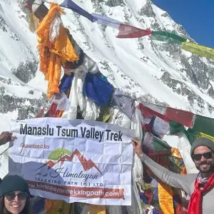
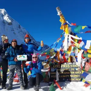
We will start our journey to Larke La (5,160m) before sunrise. As we ascend through rocky glacial moraines, hills, and snowy ridges, it's a challenging and demanding trek. Along the way, we'll pass by small shallow lakes before reaching the prayer flags at the top of the pass. From there, we'll descend towards the moraine of Salpudanda Glacier, and continue to Bhimthang (3,590m) near Bhimtang Glacier. You can enjoy the beautiful scenery while staying in this village.
Bhimthang naar Dharapani (1960m): 6/7 uur trektocht
This stretch of trail is lush and colorful. We will pass by the foot of the Bhimtang glacier, observing elegant scenery. Beyond the spellbinding landscapes adorned with prayer flags, we can see the wonderful sight of mountains around us, with the Manaslu Range to the southeast. Continuing on the trail, we will move through mystical fir woods to Yak Kharka. Navigating to the other end of the woodland, we will settle Gho (2,560m). After passing the lovely village of Tilche (2,300m), the trail crosses the Dudh Khola via a long suspension bridge and arrives at Thonche, which marks the official end of the Manaslu trail. Finally, we will move across the bridge spanning the Marsyangdi River to Dharapani (1,960m).
Dharapani naar Kathmandu via Besishahar: 6/7 uur rijden
We’ll now meet up with the popular Annapurna Circuit Trail. Through a police checkpoint, we’ll trek past the waterfalls as well as the settlements of Karta and Tal to Chamje Village from here we can take a jeep to Pokhara. If you are tired, the jeep services are available directly to Pokhara from Dharapani. Alternatively, we may drive to Kathmandu from Pokhara via a tourist bus. This blissful drive on Prithvi Highway will take us along the riverside of Masryangdi and Trishuli during which, we can gaze at the scenic terrain including green hillocks, flourishing forests, local villages, and verdant cultivated fields. Once at Kathmandu, you can provide a reward to your tired body in the form of rest or massage therapies. Remember to go for a souvenir shopping trip at the local marketplaces!
End point
Tribhuvan International Airport (KTM) त्रिभुवन विमानस्थल, त्रिभुवन विमानस्थल, Kathmandu, Bagmati, Nepal
Tour Details
accommodation
- 2 overnachtingen in een standaard hotel in Kathmandu vóór de trekking
- 10 nachten accommodatie in de lodge in Mountain
- 1 overnachting in een standaard hotel in Kathmandu na de trektocht
transport
- Ophalen en wegbrengen van het vliegveld met een privé-auto
- Kathmandu naar Machhekhola en Dharapani naar Kathmandu met de bus
insurance
flights
- Voor deze trektocht is geen vlucht nodig
meals
- Ontbijt in Kathmandu
- Alle bergmaaltijden (ontbijt, lunch en diner)
guide
- Professionele trekkinggids
- zijn salaris en eten
- reisverzekering
Good to know
Currency
Nepalese Rupee
Nepal

