A representative from Icicles Adventure Treks & Tours will meet you at Kathmandu Airport (Tribhuvan International Airport). Finish your custom formalities (visa, etc.) and get to the airport waiting terminal, you will find our representative waiting to greet you. He/she will be holding Accessible Adventure signboard. You will be then transferred to your respective hotel in our private vehicle. You can either rest in your hotel or shop around Thamel for any gears for your trek. Accommodation: Hotel.
-
01.08-17.08.26 scheduled

-
05.08-21.08.26 scheduled
-
08.08-24.08.26 scheduled
-
12.08-28.08.26 scheduled
-
15.08-31.08.26 scheduled
-
19.08-04.09.26 scheduled
-
22.08-07.09.26 scheduled
-
26.08-11.09.26 scheduled
-
29.08-14.09.26 scheduled
-
02.09-18.09.26 scheduled
-
05.09-21.09.26 scheduled
-
06.09-22.09.26 scheduled
-
07.09-23.09.26 scheduled
-
09.09-25.09.26 scheduled
-
12.09-28.09.26 scheduled
-
13.09-29.09.26 scheduled
-
14.09-30.09.26 scheduled
-
16.09-02.10.26 scheduled
-
19.09-05.10.26 scheduled
-
20.09-06.10.26 scheduled
-
21.09-07.10.26 scheduled
-
23.09-09.10.26 scheduled
-
26.09-12.10.26 scheduled
-
27.09-13.10.26 scheduled
-
28.09-14.10.26 scheduled
-
30.09-16.10.26 scheduled
-
02.10-18.10.26 scheduled
-
04.10-20.10.26 scheduled
-
06.10-22.10.26 scheduled
-
09.10-25.10.26 scheduled
-
11.10-27.10.26 scheduled
-
13.10-29.10.26 scheduled
-
16.10-01.11.26 scheduled
-
18.10-03.11.26 scheduled
-
20.10-05.11.26 scheduled
-
23.10-08.11.26 scheduled
-
25.10-10.11.26 scheduled
-
27.10-12.11.26 scheduled
-
30.10-15.11.26 scheduled
-
02.11-18.11.26 scheduled
-
04.11-20.11.26 scheduled
-
06.11-22.11.26 scheduled
-
09.11-25.11.26 scheduled
-
11.11-27.11.26 scheduled
-
13.11-29.11.26 scheduled
-
16.11-02.12.26 scheduled
-
18.11-04.12.26 scheduled
-
20.11-06.12.26 scheduled
-
23.11-09.12.26 scheduled
-
25.11-11.12.26 scheduled
-
27.11-13.12.26 scheduled
-
30.11-16.12.26 scheduled
-
04.12-20.12.26 scheduled
-
11.12-27.12.26 scheduled
-
18.12-03.01.27 scheduled
-
25.12-10.01.27 scheduled
-
01.03-17.03.27 scheduled
-
04.03-20.03.27 scheduled
-
08.03-24.03.27 scheduled
-
11.03-27.03.27 scheduled
-
15.03-31.03.27 scheduled
-
18.03-03.04.27 scheduled
-
22.03-07.04.27 scheduled
-
25.03-10.04.27 scheduled
-
29.03-14.04.27 scheduled
-
02.04-18.04.27 scheduled
-
04.04-20.04.27 scheduled
-
06.04-22.04.27 scheduled
-
09.04-25.04.27 scheduled
-
11.04-27.04.27 scheduled
-
13.04-29.04.27 scheduled
-
16.04-02.05.27 scheduled
-
18.04-04.05.27 scheduled
-
20.04-06.05.27 scheduled
-
23.04-09.05.27 scheduled
-
25.04-11.05.27 scheduled
-
27.04-13.05.27 scheduled
-
30.04-16.05.27 scheduled
-
03.05-19.05.27 scheduled
-
05.05-21.05.27 scheduled
-
07.05-23.05.27 scheduled
-
10.05-26.05.27 scheduled
-
12.05-28.05.27 scheduled
-
14.05-30.05.27 scheduled
-
17.05-02.06.27 scheduled
-
19.05-04.06.27 scheduled
-
21.05-06.06.27 scheduled
-
24.05-09.06.27 scheduled
-
26.05-11.06.27 scheduled
-
28.05-13.06.27 scheduled
-
31.05-16.06.27 scheduled
-
05.08-21.08.27 scheduled
-
12.08-28.08.27 scheduled
-
19.08-04.09.27 scheduled
-
26.08-11.09.27 scheduled
-
01.09-17.09.27 scheduled
-
03.09-19.09.27 scheduled
-
06.09-22.09.27 scheduled
-
08.09-24.09.27 scheduled
-
10.09-26.09.27 scheduled
-
13.09-29.09.27 scheduled
-
15.09-01.10.27 scheduled
-
17.09-03.10.27 scheduled
-
20.09-06.10.27 scheduled
-
22.09-08.10.27 scheduled
-
24.09-10.10.27 scheduled
-
27.09-13.10.27 scheduled
-
29.09-15.10.27 scheduled
-
02.10-18.10.27 scheduled
-
03.10-19.10.27 scheduled
-
05.10-21.10.27 scheduled
-
07.10-23.10.27 scheduled
-
09.10-25.10.27 scheduled
-
10.10-26.10.27 scheduled
-
12.10-28.10.27 scheduled
-
14.10-30.10.27 scheduled
-
16.10-01.11.27 scheduled
-
17.10-02.11.27 scheduled
-
19.10-04.11.27 scheduled
-
21.10-06.11.27 scheduled
-
23.10-08.11.27 scheduled
-
24.10-09.11.27 scheduled
-
26.10-11.11.27 scheduled
-
28.10-13.11.27 scheduled
-
30.10-15.11.27 scheduled
-
31.10-16.11.27 scheduled
-
02.11-18.11.27 scheduled
-
04.11-20.11.27 scheduled
-
06.11-22.11.27 scheduled
-
07.11-23.11.27 scheduled
-
09.11-25.11.27 scheduled
-
11.11-27.11.27 scheduled
-
13.11-29.11.27 scheduled
-
14.11-30.11.27 scheduled
-
16.11-02.12.27 scheduled
-
18.11-04.12.27 scheduled
-
20.11-06.12.27 scheduled
-
21.11-07.12.27 scheduled
-
23.11-09.12.27 scheduled
-
25.11-11.12.27 scheduled
-
27.11-13.12.27 scheduled
-
28.11-14.12.27 scheduled
-
30.11-16.12.27 scheduled
-
03.12-19.12.27 scheduled
-
06.12-22.12.27 scheduled
-
10.12-26.12.27 scheduled
-
13.12-29.12.27 scheduled
-
17.12-02.01.28 scheduled
-
20.12-05.01.28 scheduled
-
24.12-09.01.28 scheduled
-
27.12-12.01.28 scheduled
-
31.12-16.01.28 scheduled
Itinéraire
Une occasion unique de visiter la région sauvage et isolée de la région de Manaslu.
Voyagez dans la vallée de Budhi Gandaki et traversez plusieurs ponts suspendus.
Découvrez l'ancienne culture et les traditions des communautés ethniques locales.
Échappez aux foules de touristes et profitez d'un enclos naturel et culturel pendant le trek.
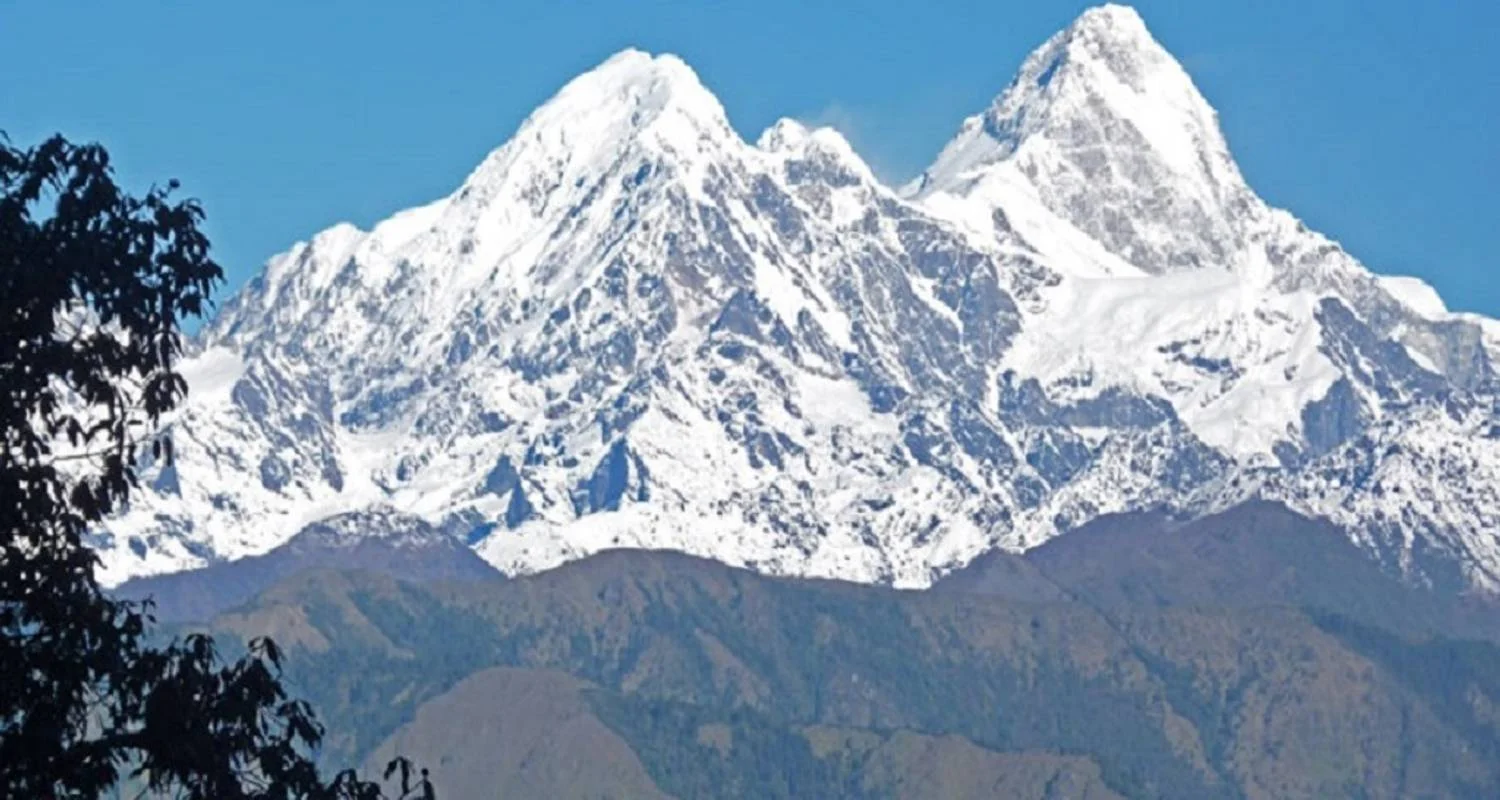
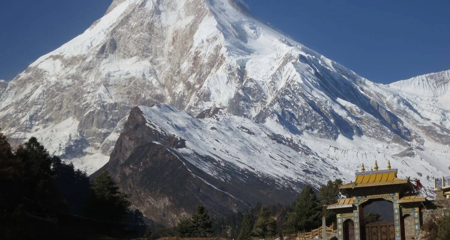
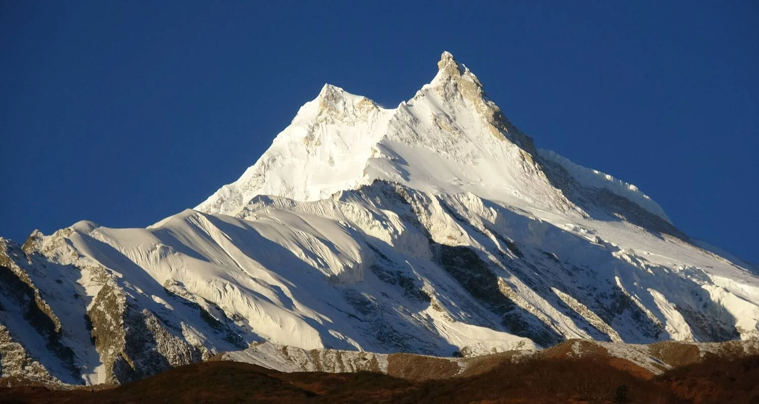
Le circuit du Manaslu est une marche épique centrée sur le mont Manaslu, une magnifique montagne, la 8e plus haute du monde, qui culmine à 8 163 mètres. Le circuit de Manaslu est une bonne alternative au circuit de l'Annapurna, car la majeure partie de ce dernier a été détruite par la construction d'une nouvelle route. Le trekking dans la région du Manaslu n'a été autorisé aux étrangers qu'à partir de 1991. Ainsi, le circuit du Manaslu, bien qu'il s'agisse d'une très belle région, ne voit que peu de trekkeurs chaque année, ce qui est une bonne raison pour les amateurs d'aventure et de nature de faire du trekking dans cette région.
Le Manaslu est une randonnée spéciale qui vous emmène près de la frontière entre le Népal et le Tibet. Ici, la vie des villages est restée la même depuis des centaines d'années. Avec de vastes étendues sauvages dans la partie inférieure et de superbes vues sur les montagnes dans la partie supérieure, il s'agit d'un trekking modérément éprouvant. Il vous emmène à travers une région géographiquement spectaculaire et culturellement fascinante, avec la traversée du point le plus élevé, le col de Larkya La (5 213 m), qui est considéré comme l'un des cols les plus excitants de l'Himalaya et qui offre une vue superbe sur l'Himlung Himal (7 125 m), le Cheo Himal (6 820 m), le Kang Guru (6 981 m), l'Annapurna II (7 939 m) et le Manaslu (8163 m).
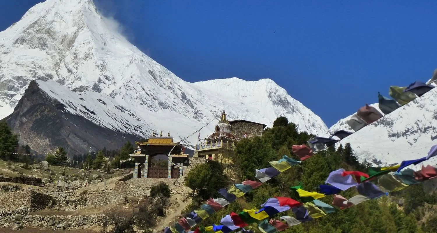
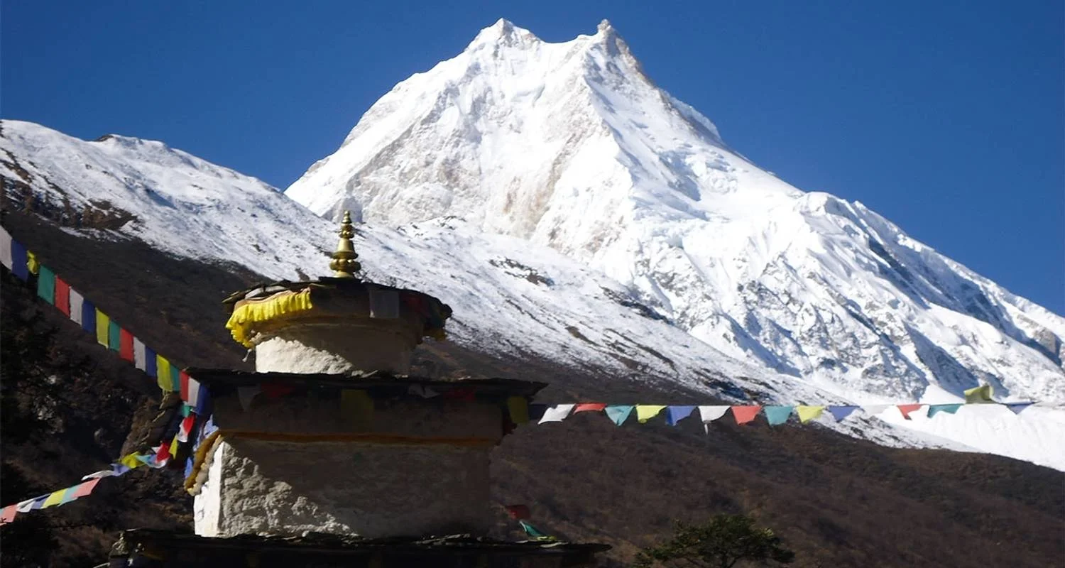
La marche commence après un long trajet en voiture de Katmandou à Sotikhola. Nous traversons plusieurs ponts suspendus sur la rivière Budhi Gandaki, marchons à travers les villages et les forêts luxuriantes et fertiles de moyenne montagne pendant environ une semaine. En traversant les gorges de la rivière Budhi Gandaki, vous aurez l'impression que les villages du bas sont dominés par la foi hindoue. Mais à mesure que nous nous dirigeons vers le nord, la vallée s'ouvre pour révéler des prairies alpines, des paysages arides et les villages regroupés à plus haute altitude sous la face nord du mont Manaslu vivent avec la foi bouddhiste de style tibétain. En montant, nous suivons l'ancienne route commerciale où les caravanes de yaks transportaient le sel du Tibet depuis des centaines d'années. Nous rencontrons des murs Mani et des monastères recouverts de drapeaux de prière symbolisant la foi bouddhiste partout dans l'air raréfié. Finalement, le sentier atteint Samagaun, le plus grand et le plus important village de la région. Lors de la journée d'acclimatation à Samagaun, nous explorons les vallées environnantes plus en profondeur, visitons le monastère de Pung Gyen, niché à la source d'un ruisseau avec un ancien temple et des grottes de méditation dans les rochers au-dessus. Nous nous dirigeons vers l'ouest et franchissons le col du Larkya La (5 160 m), un itinéraire classique et difficile qui relie la vallée de la Budhi Gandaki à celle de la Marshyangdi. La descente passe par de belles prairies alpines à Bimthang, avant de rejoindre l'itinéraire principal du circuit de l'Annapurna à Besishahar.
Le circuit du Manaslu est-il fait pour vous ?
Le trek du circuit du Manaslu est un trek modérément éprouvant et constitue un défi en soi, même pour les randonneurs en bonne santé et expérimentés. Une certaine expérience du trekking est souhaitable pour participer au Manaslu Circuit Trek. Vous devez être à l'aise pour marcher 6 à 8 heures par jour à haute altitude avec un sac à dos léger (la marche à haute altitude est plus exigeante pour le corps que la marche à basse altitude). Notre itinéraire bien conçu permet la meilleure acclimatation possible, mais vous devrez vous assurer que vous êtes physiquement prêt pour le trek. La meilleure période pour faire du trekking autour du circuit du Manaslu est de mars à mai et de septembre à novembre. Les autres mois de l'année ne sont pas recommandés pour le trek du circuit du Manaslu car le col du Larkya La est dangereux en cas de neige extrême.
Programme du circuit
Day 1
Jour 1 : Arrivée à l'aéroport de Katmandou et transfert à l'hôtel
Point de départ
Tribhuvan International Airport (KTM) त्रिभुवन विमानस्थल, त्रिभुवन विमानस्थल, Kathmandu, Bagmati, Nepal
Day 2
Jour 2 : Après le petit-déjeuner, visite du temple de Pashupatinath et de Kailashnath Mahadev.
We start a guided tour to several medieval and spiritual sites in Kathmandu which are also listed as UNESCO World Heritage Sites. Kathmandu valley is a synthesis of Hindu and Buddhist temples, stupas and statues, and is often the site of festivals and other ceremonies. We visit Pashupatinath, a very sacred temple complex for Hindus all over the world on the banks of the holy Bagmati river. Here, monkeys run up and down the steps of the burning ghats, and saddhus draped orange and saffron sit serenely meditating. We visit historic Durbar Square, a compound of temples, ancient palaces and architecture. Next, we walk the stone steps up to a hilltop where the famous ‘Monkey Temple’ (Swayambhunath) with its whitewashed stupas and its unique fusion of Buddhism and Hinduism exist from centuries. Next, we visit Buddhists shrine (Boudhanath) which is one of the large Stupas in the world. The prominent Buddha eyes of Boudhanath Stupa attract Buddhist pilgrims from all over the world. Later after sightseeing program, we will introduce you with your trekking guide and have a small pre-trip meeting. You can also take an opportunity to hire/buy any last-minute trekking equipment or bargain for your souvenirs at the many stores. You are advised to pack your things and be set up for your Manaslu Circuit Trekking adventure that will begin tomorrow. Accommodation: Hotel, Included Meal: B.
Day 3
Jour 3 : Route vers Arughat jusqu'à Soti Khola
We make an early departure from Kathmandu this morning for a scenic drive from Kathmandu to Arughat. Driving today is adventurous and pleasant as it winds down hugging the mountain side through terraced fields. Following the side of Mahesh River, we come to the Trishuli River. We follow Trishuli River side until we cross a bridge over Trishuli River itself and continue driving towards headquarter of Dhading district, Dhading Besi. We continue our drive through bumpy rough from Dhading Besi to Arughat. Drive from Arughat to Sotikhola is not a pleasant drive. Soti Khola is named after a Hindu goddess temple which exists in the village, Soti Devi Temple. Drive time: 8-9 hours, Accommodation: Local lodge,
Day 4
Jour 4 : Trek jusqu'à Machha Khola (870 m/2854 ft)
The next few days we trek through lower altitude through Nepal’s green middle hills, trekking up the Budhi Gandaki River valley through villages of mixed ethnicity- Gurung, Magar and Brahmin-Chhetri, etc. From Machhakhola, the trail descends slowly until yo climb again to the mountain ridge to Armala. We pass the forest trail to arrive at Lapubesi, a Gurung village. We see few seasonal waterfalls today from our trail. We reach the small hamlet of Machha Khola (Fish River), which was wiped out by a flood several years ago and rebuilt. We see beautiful views of Ganesh Himal and Buddha Himal today. Walking time: 5 – 6 hours, Accommodation: Local lodge,
Day 5
Jour 5 : De Machha Khola à Jagat (1340m/4395 ft)
We cross the Machha Khola River and head upstream to the tiny village of Khorlabesi. After Khorlabesi, followed by an hour of walking along the river, by tobacco and buckwheat fields, past rocks washed smooth by the river, often climbing up stone steps, to reach the hot springs in the center of the small, terraced village of Tatopani. We have plenty of time to soak our grungy bodies in the voluble hot water streaming out of sculpted stone spouts. A gentle climb through the woods past some spectacular waterfalls and sculpted rocks brings us to a new suspension bridge across the Budhi Gandaki which we cross. We continue along a forested path and soon reach Dobhan. We cross the Dobhan Khola on another suspension bridge above Dobhan village, the Budhi Gandaki descends in an impressive series of steep cataracts. Sharing trail with local sheep and goats we take steep steps along cliff walls to climb as the river descends even more steeply and stratified river rocks decorate our route. Eventually the river valley widens and a good trail leads to Jagat, a village with a beautiful flagstone square. Walking hours: 6 – 7 hours, Accommodation: Local lodge,
Day 6
Jour 6 : De Jagat à Deng (1860 m)
A long day. We get our trekking permits checked in Jagat and start descending long stone steps to the river and then climb terraced hill to Salleri from where can see beautiful Sringi Himal (7,190m). We pass through village of Sirdibas, where if autumn you will find the local children selling oranges. Soon afterwards we pass the local water-mill (Pani Ghatta), we cross Ghatta Khola over a suspension bridge. We reach Philim where there are the MCAP headquarters, health post, a Japanese-sponsored school and a micro-hydro plant. Leaving Philim along the main, paved trail we hike through some farmlands on a high trail over the Budhi Gandaki and soon pass Ekle Bhatti. Continuing on this spectacular trail, we hike through a narrow, dramatic gorge with towering walls, past a thundering waterfall to the right of the trail and smaller ones along the way. White-faced langurs leap in the trees above and remote villages hang to the opposite side of the gorge. About two hours past Philim we reach the metal bridge which spans the Budhi Gandaki with a trail leading east to the Tsum valley to our right. We descend for a bit to where we left the main trail at the river junction, cross the Budhi Gandaki on a steel Bailey’s bridge, and continue further north. After the bridge and passing the trail to Nyak on the left we ascend gradually along a wide, hillside trail through an open pine forest, and then cross the river two more times on newly built steel suspension bridges trekking through dense forest of rhododendrons, bamboo and wild flowers. As we climb, look back for views of Ganesh Himal IV. After another 45 minutes of relatively easy climbing we leave the narrow gorge, cross the Dyang Khola on a suspension bridge, and climb briefly to the hamlet of Deng. Deng is the start of the lower Nubri region called Kutang, where the people are ethnically Tibetan but speak a different dialect than the people of upper Nubri where the people are purely Tibetan. We have views of the Ganesh Himal to the rear, as well as Lapuchen and Dwijen Himals to the north. Walking hours: 6 – 7 hours, Accommodation: Local lodge,
Day 7
Jour 7 : De Deng à Numrung (2630m/ 8626 ft)
From Deng, we descend for around 20 minutes to the river and steeply climb again for a further 20 minutes to Rana. After more climbing through lovely woods of pine and crossing another bridge, we reach Bihi Phedi, where there is a new lodge and views of Kutang Himal. From here we start to see very artistic mani stones (prayers etched onto wayside rocks, particularly mani stones with pictures of gods and goddesses in this region) a sign that we are entering another Buddhism influenced region of Himalaya. Beyond the village we cross the Serang Khola and climb again on a trail which rises high above the main Budhi Gandaki. The walk through the gorge is breathtaking but hot, with spectacular views. In about two hours past a beautifully painted chorten and after crossing a bridge over the Budhi Gandaki, we reach the outskirts of Ghap. Again, we walk by the side of long mani walls with Buddhas in several asans. Upon reaching Ghap, we see egg-shells strung above the local ‘tea-house’ doors in Ghap prevent the evil spirits from entering the house. The trekking is pleasantly cool now, as we start to gain height and enter the alpine forest of dense, cool forest of fir, rhododendron, bamboo and oaks, giving occasional glimpses of snowy mountains. We realize the valley is now becoming steeper with ravines and water cascades. We cross the river few times on suspension bridges and begin a long climb on steep stone staircases up to the village of Namrung. Walking time: 6 – 7 hours, Accommodation: Local lodge,
Day 8
Jour 8 : De Namrung à Lho (3180 m/10430 ft)
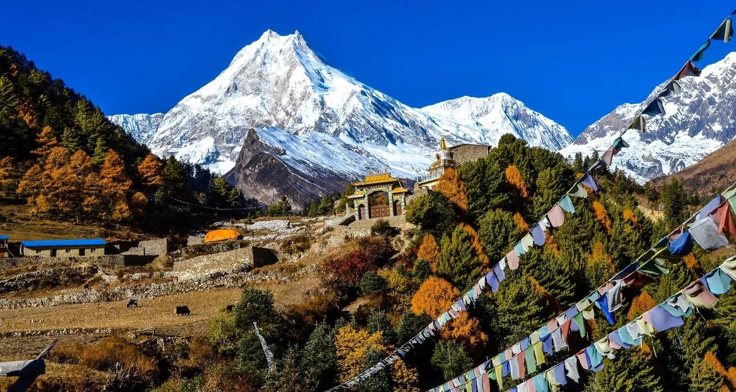
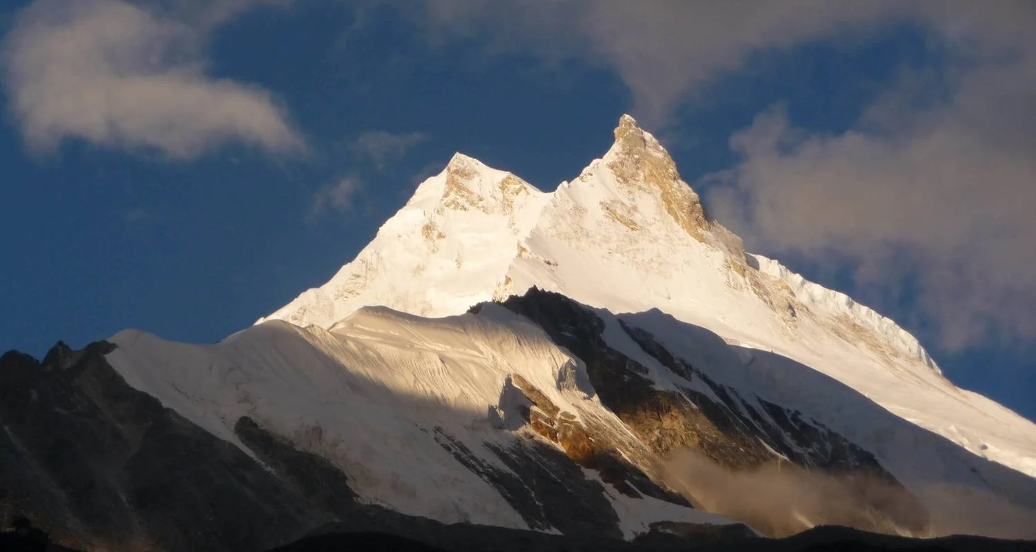
Beyond Namrung the valley opens out and there are quite extensive barley fields and pastures as we trek through the village of Banjam. Climbing quite steeply, we reach the picturesque village of Lihi (2920m). Lihi houses two old gompas, and is spread along the trail with billowing fields of barley, guarded by more bear watches. Lihi is known for its unusual architecture – apartment-like units with a common roof. Shortly after Lihi one can see a beautiful mountain like a razor blade. It’s the Simnang Himal (6251m). We cross a large stream flowing down from the Lidanda Glacier, and pass through the Tibetan village of Sho. Just above this village we get a first sight of majestic Manaslu. One more small descent out of Sho, past a fly-blown teahouse and a small stream, and we start to climb up to Lho and in about three hours we reach Lho, a large sprawling village adorned with a lot of prayer flags with a lovely little monastery and numerous chortens, mani walls and an ornate white stupa. Also, a bigger Nyingma Rimjung Gompa is there decorated with colorful prayer flags that houses more than 100 monks. The two peaks of Manaslu now dominate the area but Ganesh I is also visible looking back and to the northeast is a most impressive wall of rock rising to the snowcapped summit of Saula (6,235), part of the Kutang Himal. Walking time: 5 – 6 hours, Accommodation: Local lodge
Day 9
Jour 9 : De Lho à Sama Gauon (3520m/11545 ft)
We wake up early to see the golden sunrise over Manaslu. We pass barley fields, a long mani wall and, old chorten followed by another big chorten from where we see very panoramic views of Mt. Manaslu. We follow the right bank of Budhi Gandaki with views of Ngadi Chuli ahead. Soon climbing through the forest with occasional stream crossings on log bridges brings us to the peaceful summer settlement of Shayla which provides a superb panorama of Phunki, Manaslu and Himal Chuli. We see Hongsanbu Gompa on our way to Shyala. We cross the outflow from the Pung Gyan Glacier and then climb beside the torrent to a ridge.
We take a side trip to get to Pung Gyan Gompa that sits at 3870 meters and do a stunning walk up an often icy and slippery trail along the Numla Khola and the Pung Gyan glacier past Tibetan ‘kharkas’ or seasonal herding settlements. There are superb views of Manaslu near the Gompa. The Gompa was mostly destroyed by an avalanche in 1953, and recently rebuilt. The complex includes a cave gompa as well, which affords even better views of the valley. Descending the main trail, we now have the luxury of downhill trekking for a while but soon we reach the fields of Samagaun and in a further 20 minutes we arrive at impressive Sama Gompa (Monastery). There are breathtaking views from here of the granite pyramid of Manaslu. Walking time: 5 – 6 hours, Accommodation: Local lodge,
Day 10
Jour 10 : Journée de repos et d'acclimatation à Sama Gauon
It is day eleven and as scheduled, we are now going to spend a day at Samagaun for acclimatization purposes. To begin, Samagaun is a very interesting village which can be a worthwhile place to explore for the day being. Likewise, the alluring monastery of Kargyu Chholing Gompa and the heart-warming Birendra Lake are some of the fascinating places to visit during your free day at Samagaun. If you are more interested in learning more about the culture of this region, then you can simply wander off and start observing the local indigenous community of the village. Then after, you can have a taste of some locally prepared cuisines which are bound to enhance your trekking experience over all. Stay overnight at Samagaun. Accommodation: Local lodge,
Day 11
Jour 11 : Trek vers Samdo (3875m/12710 ft)
Half an hour after leaving Samagaun, we cross the small bridge, hike through the gate of the grazing wall and head west towards Manaslu Base Camp and Birendra Lake along the grassy lateral moraine. As we hike up through the woods on a dirt trail, past birch, juniper and rhododendron, the lake opens up below us and we get closer to the impressive icefall of the Manaslu Glacier.
We’ll hike up to a cave at just over 4000 meters before calling it a day and returning back to the valley, crossing the small stream and heading north again. We trek past rough woods of Himalayan birch during the walk up to Samdo. We pass by the left side of the long Mani walls at Kyonggma Kharka and afterwards spot the entrance chorten of Samdo. We descend back to the Budhi Gandaki and cross a small bridge leading to a short climb to Samdo. The villagers of Samdo came across the border from the village of Riu in Tibet after 1959 and built their new village here, at their old herding settlement. Samdo inhabitants are Tibetan, and were ceded the land by the king of Jumla over 500 years ago. Take a walk around the village where the inhabitants live an essentially Tibetan lifestyle, herding their yaks, sheep and goats, training their horses and planting barley. There is a small gompa mid-village. Walking hours: 5 – 6 hours, Accommodation: Local lodge,
Day 12
Jour 12 : Trekking jusqu'au camp d'altitude de Dharamsala (Larkya Phedi) (4480 m/14694 ft)
Today is also a short day. We leave Samdo on the old trade route towards Tibet (Sherpas from the Khumbu region used to bring their yaks into Tibet and then across the Larkya La down into Nubri on their extensive trade-circuit in years past), cross a small bridge, and climb westwards above the ruins of Larkya Bazaar. The bazaar was one of the trade markets, a seasonal tented camp, that flourished years ago, before the closing of the Tibetan border. Ascending through grazing lands, open, grassy plateaus filled with dwarf juniper bushes, rhododendron, and lichened stones. The landscape becomes increasingly awe-inspiring. We see the views of Syacha Glacier on the other side of the valley which tumbles down from Manaslu and Manaslu North peaks. Finally, we come to Dharamsala, the high camp for the Larkya La pass. You’ll feel the altitude and the cold here, so perhaps enjoy a relaxed afternoon and keep warm. We can find blue sheep in this territory, so keep an eye out for herds of them grazing nearby on the barren slopes. If you’ve still got energy to spare hike up either of the ridges that form the boundary of our valley, or hike up alongside the small spring-fed stream in back of camp and enjoy the birds, marmots and blue sheep. Either way you’ll have good views of Naike Peak to the south and the tip of Manaslu in front. We’ll have an early dinner in preparation for our pass crossing tomorrow. Walking hours: 3 – 4 hours, Accommodation: Local lodge,
Day 13
Jour 13 : Traversée du Larkya La (5160m/16924 ft) jusqu'à Bimthang (3590m/11775 ft)
We get ready early in the morning and head off on our long day trek over the Larkya La to Bimthang. After a short climb, we hike along the right side of the lateral moraine, soon following the narrow bottom of this valley. Look for blue sheep, pika, marmot and Tibetan snow-cock tracks in the snow and if lucky you can also see snow leopard paw prints. We soon reach the ablation valley on the north side of the Larkya Glacier where we will have views of Cho Danda and Ganesh Himal I to the east and then of Larkya Peak (6250m) to the west. We continue across the often snowy, undulating moraine of the glacier, past the many snow markers, and in about two hours reach a small hut, mostly unused, at 4920 meters. From here we have to push another two hours to reach
We continue to ascend on small ridges and past a lovely frozen lake, often through the snow, making a gradual ascent which becomes steeper only in the last section to the pass. The views from the top of the Larkya La are breathtaking, mountain views equally amazing from both sides. From the east, the direction we just hiked up, we’ll look down on Samdo Peak and the peaks bordering Tibet, and Larkya Peak to the southeast. To the west towards the Annapurna region rise Kang Guru (ridge only), Himlung Himal, Cheo Himal and a bit further down the pass the views open up to include Gyagi Kung and Annapurna II. After hanging our Tibetan prayer flags (if we have brought) we take a steep climb down a razor-edge ridge and then a descent, often slippery and icy and slightly steep, to a trail following the left side of the Salpudanda glacier moraine. We lunch at a flat area with smooth rocks if there’s no snow. We continue to traverse downhill with another steep section ahead, soon reaching a flatter valley full of primulas and azalea bushes. We still have a good 2-3 hours to reach Bimthang. A circular descent through boulder-strewn trail lead us, finally, to Bimthang, which means ‘sandy plain’, the region where the Samdo people keep their yaks and horses in the summer and winter months. Walking hours: 7 – 8 hours, Accommodation: Local lodge,
Day 14
Jour 14 : De Bimthang à Dharapani (1960m/6100ft)
We leave the grazing fields of Bimthang after breakfast. We climb to a ridge over the moraine, soon afterwards crossing a boulder-strewn river on a wooden bridge. We ascend and then head down through open forests of rhododendron, juniper, birches and spruce past the meadows below Bimthang. With the back side of Manaslu opening up impressively in front of us, we follow the intersecting glacial rivers, increasingly large as we drop, and eventually cross a steel Bailey’s bridge and reach the small hamlet of Karche. We continue along the rocky river-bed, often on trails which traverse sliding hillsides, to several small, green villages, a sign that we have reached lower altitudes. We reach the large village of Tilje. Tilje village is a mixed village with its residents being Manangis, Ghale Gurung and Chettris (Hindus, we can see cultural fusion with unique architecture and culture. Its about now one and half hours walk to Dharapani, the place where Annapurna Circuit Trek and Manaslu Circuit Trek meet. Walking hours: 5 – 6 hours, Accommodation: Local lodge
Day 15
Jour 15 : De Dharapani à Syange (1100m/3608 ft)
We down on an undulating trail through the lush forest to the river and cross another suspension bridge leading to Chamje. Chamje is an atmospheric, ‘wild west’ village of traditional-style teahouses, often packed with saddled local horses. From here the road-building is full-on, so we’ll continue as far as we can get, and hop in our jeeps. But before then we have one more hour-long descent along the new dirt road, looking across the river to large waterfalls, to reach the (once) lovely cobbled village of Jagat, situated on a shelf which extend into the precipitous Marshyangdi valley. We continue down to Syange through rhododendron and pine forests. Walking hours: 6 – 7 hours, Accommodation: Local lodge,
Day 16
Jour 16 : Route de Syange à Katmandou
We drive back to Kathmandu today. Try to get left pane of your vehicle to enjoy the greeneries, mountains, river gorges, villages and terraces during the drive. In the evening, we will have a farewell dinner in a traditional Nepalese restaurant with cultural performances. Driving Time: 8-9 hours, Accommodation: Hotel, Included Meal: Breakfast.
Note: You have the option to extend your trip with an extra day at Pokhara (Pokhara is a beautiful city to relax after a long trek), Chitwan jungle safari, rafting adventure, Bungee Jumping, Kayaking, Canoeing, Kathmandu valley shopping tour, Bhaktapur and Patan sightseeing, scenic Everest flight, mountain biking and other activities.
Day 17
Jour 17 : Départ de Katmandou - Dépose à l'aéroport
Your Manaslu Circuit Trek concludes today. Our airport representative will drop you at the international airport in Kathmandu for your departure flight from Nepal. We hope beautiful Nepal, the magnificent Himalayan sceneries, and unique cultural experience you got along your Annapurna Circuit Trek will stay in your memory lifelong and you will go back home with a sense of achievement. Included Meal: Breakfast.
Point d’arrivée
Tribhuvan International Airport (KTM) त्रिभुवन विमानस्थल, त्रिभुवन विमानस्थल, Kathmandu, Bagmati, Nepal
Politique d'annulation
In the event of trip cancellation, you must notify in written to Accessible Adventure; and the following cancelation policies will apply:
56 days prior to departure - 80% refund.
42 - 55 days prior to departure - 70% refund.
29 - 41 days prior to departure - 50% refund.
01 - 28 days before departure- no refund.
INCOMPLETION OF YOUR HOLIDAY
No refund will be made who leave out from the tour regardless of whatever portions remain unused in the program.
UNFORESEEN CIRCUMSTANCES
-Accessible Adventure reserves the right to cancel or refuse your booking due to unforeseen circumstances like war, natural disasters, conflict, unfavorable climate etc.. In this event, Accessible Adventure may offer you an alternative trip of a similar standard. In case, the alternative tour doesn?t meet to your interest, Accessible Adventure will refund all monies paid by you.
-Accessible Adventure will not take responsible for any delay or cancellation of flights due to bad weather conditions, road blockage, landslides, strike. Any expesnes incurred during this period will be your responsible.
PARTICIPANTS RESPONSIBILITIES
-It is your responsibility and ensure yourself that you have a valid passport at least 6 months, and all necessary visas, permits or travel insurance for your selected holiday. Accessible Adventure will not be responsible for any problems, delays or denied entry in the event you are not having of valid travel documents.
-It is your responsibiltiy to follow the laws and regulations of the counties visited. In case of voilation of laws and regulation; you are oblised to leave out the tour anytime without any claims or complaints against Accessible Adventure. In such a case, Accessible Adventrue will not be responsible for any refund, compensatoin or addtional expenses incurred by you.
-It is your responsibility to look after your belongings yourself. Accessible Adventure will not take responsible for any loss, theft or damage to any of your belongings.
Détails du circuit
Hébergement
Trois nuits en chambre double avec petit-déjeuner dans un hôtel 3 étoiles à Katmandou.
Hébergement standard en teahouse/lodge (en chambre double) pendant le trek.
Transport
Transport terrestre de Katmandou à Arughat et Beshishahar en véhicule privé, d'Arughat à Sotikhola et de Syange à Beshishahar en véhicule partagé.
Transferts de l'aéroport et de l'hôtel selon l'itinéraire en véhicule privé
Assurance
Assurance pour le guide et les affiches
Services supplémentaires
Tous les permis requis pour le trek : Permis de zone restreinte, permis de zone de conservation du Manaslu, permis de zone de conservation de l'Annapurna.
Sac de voyage, sac de couchage et veste en duvet à utiliser pendant le trekking
T-shirt, carte de randonnée et certificat d'accomplissement du voyage
Trousse médicale de premier secours
Toutes les taxes gouvernementales et les frais de service du bureau
Services supplémentaires
Organisation des visas pour le Népal (plus d'informations sur les visas pour le Népal)
Billets d'avion internationaux, assurance voyage et sauvetage
Nuitée(s) supplémentaire(s) à Katmandou en cas d'arrivée anticipée, de départ retardé, de retour anticipé de la montagne (pour quelque raison que ce soit) par rapport à l'itinéraire programmé.
Déjeuner et dîner à Katmandou (et aussi dans le cas d'un retour prématuré de la montagne par rapport à l'itinéraire programmé)
Boissons (eau potable, boissons chaudes et froides et boissons alcoolisées)
Les dépenses personnelles telles que les appels téléphoniques, les notes de bar, la blanchisserie, la recharge des batteries, les bouteilles d'eau ou l'eau bouillie, les douches chaudes, les porteurs supplémentaires, etc.)
l'équipement et les vêtements personnels
Pourboires pour les guides et les porteurs (les pourboires sont attendus par le personnel)
Repas
Repas : petit-déjeuner à Katmandou
Guide
Personnel - un guide de trekking professionnel, compétent et amical, parlant anglais, accompagné d'un assistant guide (6 randonneurs : 1 assistant guide) et de porteurs (2 randonneurs : 1 porteur), y compris leur nourriture, leur hébergement, leur salaire, leur équipement, leur transport et leur assurance.
Bon à savoir
Devise
NPR
Nepalese Rupee
Népal
Customer reviews
Operator
Faq Tour
How can I book a tour?
You can order a tour on our website by selecting the desired dates and clicking the “Confirm dates” button. You can also contact our sales department by phone or email.
Which payment options are available?
We accept credit cards, bank transfers and other popular payment methods.
Can I change or cancel my reservation?
Yes, changes or cancellations are possible, however penalties may apply depending on the time before the tour starts.
What documents are required to participate in the tour?
You will need a passport with a valid visa (if required) to visit countries along the tour route.
Photo gallery