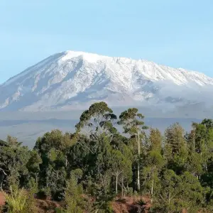
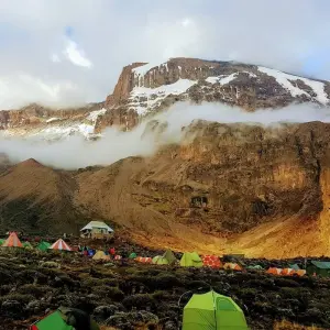
The drive from Moshi to the Mount Kilimanjaro National Park Gate takes about 50 minutes. The journey passes through the village of Machame which is located on the lower slopes of the mountain. After registration you leave the park gate and walk through the rain forest on a winding trail up a ridge. Lower down, the trail can be muddy and slippery. Gaiters and trekking poles are useful.
Itinéraire
Machame route is one of the best route to trekk mount kilimanjaro as it has high chance to reach to the top, acclimatization as you go up and down during trekking, a lot to see such as Shira plateous, sun set, Mount meru and many other beutiful features
Programme du circuit
Jour 1 : De Machame Gate à Machame Camp 1830m à 3100m 6000ft à 10,200ft Distance : 18km Temps de marche : 5-7 heures Habitat : Forêt tropicale
Point de départ
Moshi, Kilimanjaro, Tanzania
08:00 - 10:00
Jour 2 : Machame Camp to Shira Camp 3100m to 3840m 10,200ft to 12,600ft Distance : 9km Temps de marche : 4-6 heures Habitat : Lande
After breakfast, we leave the glades of the rain forest and continue on an ascending path, crossing the little valley walking along a steep rocky ridge, covered with heather, until the ridge ends. The route now turns west onto a river gorge. Time for rest, dinner, and overnight at the Shira campsite.
Jour 3 : Camp de Shira à Lava Tower à Barranco Camp 3840m à 4630m à 3860m 12 600ft à 12 700ft Distance : 15 km Temps de marche : 5-7 heures Habitat : Semi-désert
From the Shira Plateau, we continue to the east up a ridge, passing the junction towards the peak of Kibo. As we continue, our direction changes to the South East towards the Lava Tower, called the "Shark's Tooth." Shortly after the tower, we come to the second junction which brings us up to the Arrow Glacier at an altitude of 4876m / 15,997 ft. We now continue down to the Barranco Hut at an altitude of 3860m / 12,664 ft. Here we rest, enjoy dinner, and overnight. Although you end the day at the same elevation as when you started, this day is very important for acclimatization and will help your body prepare for summit day.
Jour 4 : Du camp de Barranco au camp de Barafu 3860m à 4600m 12 700ft à 15 100ft Distance : 13km Temps de marche : 8 heures Habitat : Désert alpin.
DAY 4
Barranco Camp to Barafu Camp
3860m to 4600m
12,700ft to 15,100ft
Distance: 13km
Hiking Time: 8 hours
Habitat: Alpine Desert.
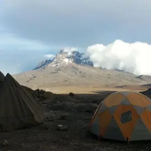
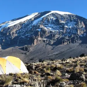
After breakfast, we leave Barranco and continue on a steep ridge up the Barranco Wall, through the Karanga Valley (lunch at 4200m / 13,779 ft), and the junction which connects with the Mweka Trail. We continue up to the Barafu Hut. You have completed the South Circuit, which offers views of the summit from many different angles. Here we make camp, rest, enjoy dinner, and prepare for the summit day. The two peaks of Mawenzi and Kibo are to be seen from this position.
Jour 5 : Du camp de Barafu au sommet de Mweka Hut 4600m à 5895m (et descente à 3100m) 15 100ft à 19 300ft (et descente à 10 200ft) Distance : 7km de montée / 23km de descente Durée de la randonnée : 6-8 heures de montée / 7-8 heures de descente Habitat :
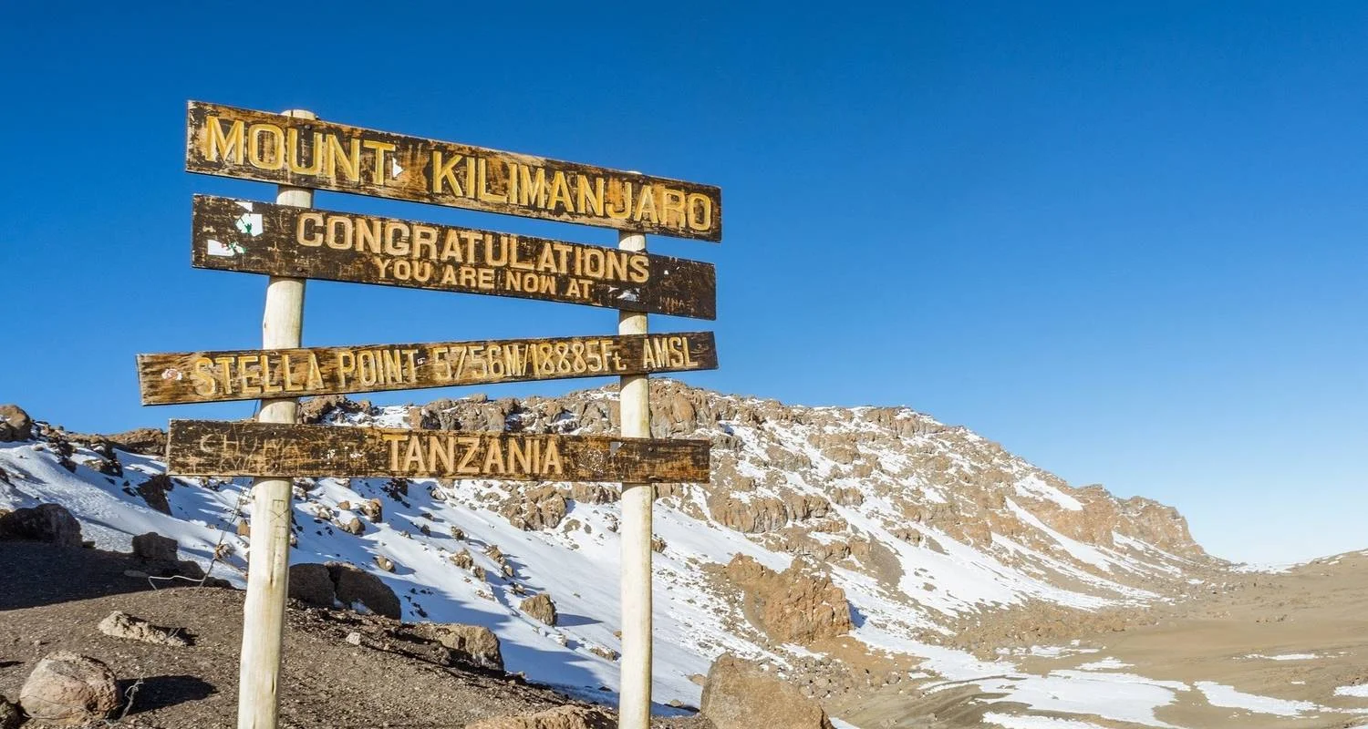
Very early in the morning (midnight to 2am), we continue our way to the summit between the Rebmann and Ratzel glaciers. You head in a northwesterly direction and ascend through heavy scree towards Stella Point on the crater rim. This is the most mentally and physically challenging portion of the trek. At Stella Point (5685m / 18,652 ft), you will stop for a short rest and will be rewarded with the most magnificent sunrise you are ever likely to see (weather permitting). From Stella Point, you may encounter snow all the way on your 1-hour ascent to the summit. At Uhuru Peak, you have reached the highest point on Mount Kilimanjaro and the continent of Africa. Faster hikers will see the sunrise from the summit. It can be very cold at night at these elevations, but it will be quite warm by the end of the hiking day. You will want clothing for both extremes with you. From the summit, we now make our descent continuing straight down to the Mweka Hut camp site, stopping at Barafu for lunch. You will want gaiters and trekking poles for the loose gravel going down. Mweka
Jour 6 : De Mweka Camp à Moshi 3100m à 1830m 10 200ft à 6000ft Distance : 15 km Temps de marche : 3-4 heures Habitat : Forêt
After breakfast, we continue the descent down to the Mweka Park Gate to receive summit certificates. At lower elevations, it can be wet and muddy. Gaiters and trekking poles will help. Shorts and t-shirts will probably be plenty to wear (keep rain gear and warmer clothing handy). From the gate, continue another hour to Mweka Village. A vehicle will meet you at Mweka village to drive you back to your hotel in Moshi or Arusha. Don't forget to tip your guides and porters. It is time for celebration!
Point d’arrivée
Moshi, Kilimanjaro, Tanzania
Détails du circuit
Hébergement
L'hébergement n'est pas inclus dans le prix mais nous pouvons vous aider à le réserver en fonction du nombre de nuits dont vous avez besoin avant et après le trekking. Mais l'hébergement pendant le trekking est inclus dans la tente.
Transport
Les transferts de l'aéroport, c'est-à-dire la prise en charge et la dépose, sont inclus, ainsi que le transfert vers et depuis le point de départ.
Assurance
Nous avons une assurance responsabilité civile pendant le séjour en Tanzanie, mais les clients doivent avoir leur propre assurance vie dans leur pays respectif.
Vols
Les vols internationaux et locaux ne sont pas inclus, mais nous pouvons vous aider à les réserver à la demande du client.
Services supplémentaires
le matériel de camping, tel que les tentes, les chaises, les tables et les matelas, est inclus.
Services supplémentaires
Votre équipement personnel de trekking tel que sac de couchage, vêtements, chaussures, chaussures de marche, vêtements de ski/de froid, etc.
Repas
Les 3 repas pendant le trekking sont inclus ainsi que l'eau potable.
Guide
Guide de montagne professionnel anglophone garanti ou autres forfaits sous réserve de disponibilité
Bon à savoir
Devise
Tanzanian Shilling
Tanzanie
Prises et adaptateurs


