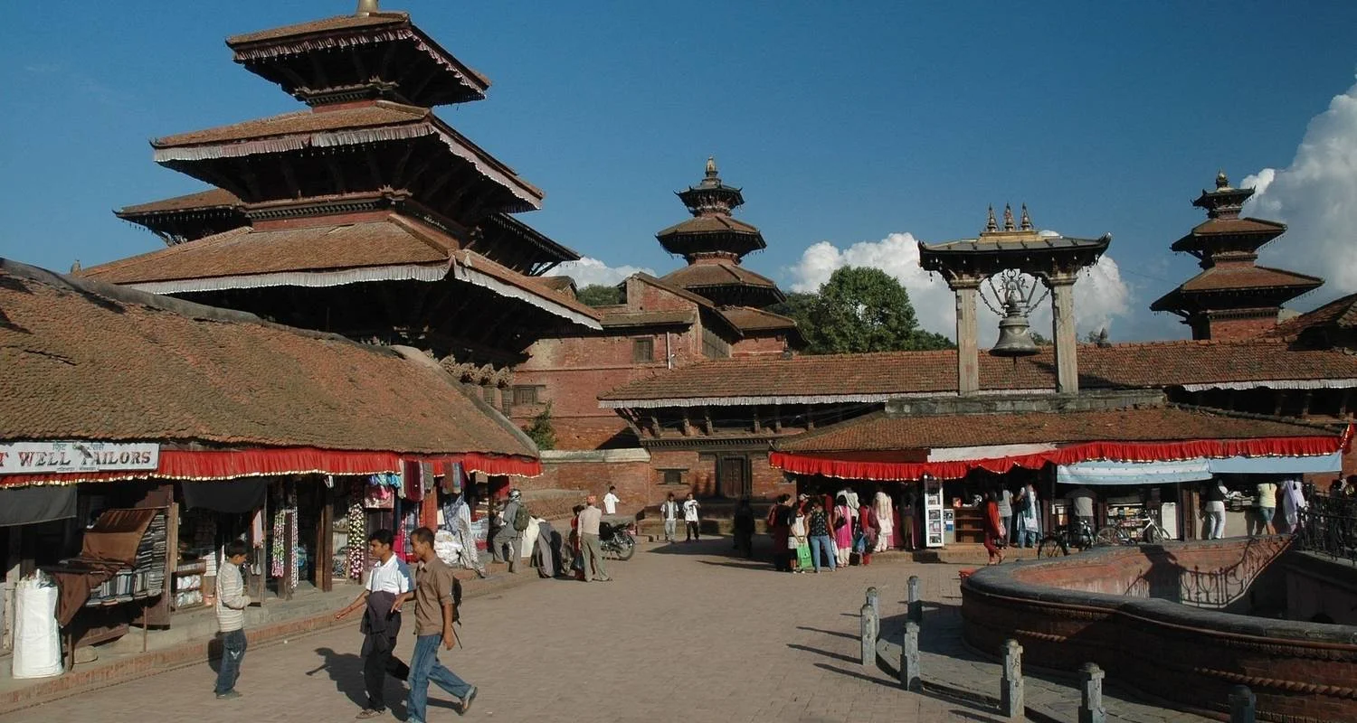
Our representative will meet you at the Tribhuwan International Airport, Kathmandu and you will be transferred by private coach to the hotel. In the hotel we will discuss with the necessary equipment and the trekking permit. Overnight stay at a hotel.
Itinerario
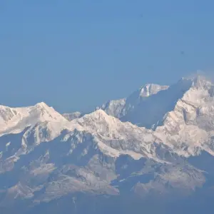
Nepal’s second highest peak and the third highest in the world, Kanchenjunga is located in the northeastern corner of the Taplejung district. Its main ridges form a natural boundary between two states, as well as a watershed to several important rivers. Twelve miles north of Kanchenjunga is the Tibetan frontier. This runs along the main watershed of the Himalayas, separating the arid plateau of Tibet to the north and the more fertile and rain washed country to the south.
Kanchenjunga is a mountain of sheer beauty. It is great enough to posses its own glaciers radiating from its several summits. Though surrounded by many peaks, the glaciers which flow far down to the fringes of the tropical forests are the undisputed possession of Kanchenjunga. It is the only mountain that displays its glories to the world at large. Only those who can afford the time and expenses necessary to penetrate the remote fastness from which they spring can view the glories of Everest, but Kanchenjunga is to be seen easily from anyone in the lower foothills.
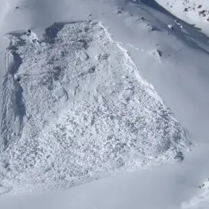
Kanchenjunga not only breaks the force of the monsoon, but protects the main watershed to the north from its onslaught to a great extent. The result of this is an extra ordinary variation of scenery and climate with in a small area. The dry, almost dusty hill at the head of the Lhonak Valley, The Dodang Nyima range and the plateau of Tibet beyond are in striking contrast to the valley that radiates southward from Kanchenjunga, for here is a dry reddish brown country with a snow level appreciably higher and glaciers considerably smaller than those of Kanchenjunga and its immediate neighbours. There is probably no other mountain where the mountaineer is exposed to greater dangers than he is on Kanchenjunga, for he not only has the ice avalanches to contend with, but general uncertain weather as well.
Roughly speaking, there are four main lines of approach of Kanchenjunga, up the valley of the Tamor river in Nepal, passing Ghunsa and Kangbachen, up the Yalung valley in Nepal, up the valley of the Teesta river in Sikkim, and up the Talung valley also in Sikkim. Between the Yalung and Talung valleys there is also the Rangit river, which has its sources in the glaciers of Kabru, 2400 feet, one of kangchenjunga’s out post peaks to the south. The span of Kanchenjunga area is 55% of the Taplejung district area and 1.40% of the total area of country. Its 65% area is covered by high Himalayas and mountain rocks and ice and remaining 45% is covered by forests, shrub-land, grass-land and agricultural-land. The climate of this area varies from subtropical monsoon at lower elevation to alpine in the higher areas.
Programa del tour
Llegada a Katmandú
Punto de partida
Tribhuvan International Airport (KTM) त्रिभुवन विमानस्थल, त्रिभुवन विमानस्थल, Kathmandu, Bagmati, Nepal
Visita turística o día libre en Katmandú
Kathmandu free day or you can make sighteeing yourself in valley includes several Hindu temples including of Pashupatinath, listed by UNESCO in World Heritage Site and the largest Buddhist Stupa, Bouddhanath. You can also visit the Monkey Temple Swyambhunath, built some 2000 years ago, and visit Patan, city of fine arts. In theevening you will be meeting with your trekking guide, checking the equipments and further discussion.
Vuelo a Bhadrapur (2059 m) y autobús a Taplejung
From Kathmandu we will take our flight for Bhadrapur. which takes about 55 min. It lies in northeastern part of Nepal. Bharatpur to Taplejug you will take local bus and over night Taplejung Bazzar.
Conduce hasta Tapethok en jeep, y camina hasta Sekathum (1640 m)
We begin the trek by driving to Tapethok, which takes about 3-4 hours. After checking in at the KCAP checkpoint, we pass several villages. Reaching Pembu, it is anuphill climb for about two and a half hours to sekathum. There is a Near by KCAP headquarters in Lelop, and various grocery stores and tea shops. We will stay in a homestay here.
Senderismo de Sekathum a Amjilosa (2510 m)
From Sakathum to Amjilosa it takes almost 5 hours. Initially our trek will be easy as we move through the flat land. Then our trek takes a form of steep uphill when you climb towards Amjilasa, a small rural area with few inhabitants and local shops known as “Bhattis," or tea shops. Overnight stay at guesthouse.
Senderismo de Amjilosa a Gyabla (2730 m)
The trek to Gyabla (2730m) takes 5-6 hours. The path is quite interesting as we pass through the jungle. Most of the people who are living in this area follow Buddhist culture. Overnight stay at guesthouse.
Senderismo de Gyabla a Ghunsa (3695 m)
To reach Ghunsa (3695m) as a trekking spot takes six hours. On the way, we pass through the jungles. The track leads to the settlement of natives. Here, many people are engaged in business like import and export in Tibet. In winter season they go to India for business. Overnight stay at guesthouse.
Senderismo de Ghunsa a Khambachen (4099 m)
It takes about 6 and a half hours to reach Khambachen (4099m) from Ghunsa.
Kambachen is dense settlement of people who follow Tibetan culture. You will be fascinated with the art and architecture of Khambachen, which is inspired by Tibetan cultures. Overnight stay at guesthouse in Khambachen.
Explorar Khambachen, día de descanso (4099 m)
We spend today exploring the Khambachen as there are different things to experience here that can be only done by walking. We will spend the remaining day enjoying the place and resting for the trip ahead. Overnight stay at guesthouse.
Senderismo de Khambachen a Lhonak (4785 m)
Climb through the rocky boulder fields on the hillside along the riverbank until we reach a waterfall. Cross the bridge to Ramtang, and cross more small landslides before finally arriving to Lhonak. Overnight stay at guesthouse.
Senderismo de Lhonak a Pangpema (5143 m)
At morning start to treks to North base camp (5243m). The stunning peak which is considered as a main peak of Kanchenjunga and landscape of remaining peaks which make one of the largest mountains in the world.An interesting thing to see is the water that flows all the time from the gorge.You should trek back downward till Lhonak where you are delighted by gazing Mountains and Yaks. Overnight in Lhonak.
Senderismo de Lhonak a Ghunsa
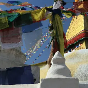
Now we descend by traveling through the jungle along the Kambachen River. In some places, we can see the mani walls and prayer flags hanging over the trees. At one point, we'll cross a wooden bridge.
Trekking de Ghunsa al Paso de Selele (4043 m)
We camped slightly before Mirgin La Pass. After a steep ascent through rhododendron forests, we reach Tamo La Pass, a ridge festooned with payer flags. As we go towrads another ridge crest, rising to 4115m, we have a nice view of Ghunsa River snaking along the north Kanchenjunga glacier. Continue to scramble up, enjoying the sight of Kanchenjunga west. Overnight at tea house.
Caminata desde el paso de Selele hasta Tsaram (3870 m)
After crossing the Mirgin La ascent to Sinon La (4660m) and another pass at 4700m, the tril descends towards Simbhu Khola Valley. It is an excellent place to organize an extra excursion. Visit Ramche Village (4620m) and into the Yalung glacier, towards its south base camp.
Senderismo de Tsaram a Ramche (5225 m)
A rocky loose path follows the stream and climbs up to some mani walls (stones carved with Buddhist prayers). Rathong (6678m) and Kabru Dome (6700m) loom at the head of the valley. Climbing further alongside the moraine of Yalung Glacier to where the valley opens up as we approach Yalung at 4260m. Our trek climbs further along the moraine to a lake and a big meadow at Ramche. The view is dominated by the spectacular peak of Rathong. Herds of blue sheep live on the cliffs above our campsite.
Senderismo de Ramche a Tsaram (3725 m)
After breakfast, we head back the same way we came to Tsaram, enjoying the scenery along the way.
Trekking de Tsaram a Trongden
We follow our way along the Simbua Khola to a campsite at Lamite Bhanjyang. There is a pond nearby at 3410m, which is a nice place to set up camp, although sometimes there may be a water shortage there. Overnight Trongden.
Senderismo de Trongden a Yamphudin (2090 m)
Hike to Yamphudin (2080m) acquires 8 – 9 hours. The hiking starts after you take a walk into the jungles. Seeing the landslides on the way do not get frustrated as yamphudin trek is a rejoiced trek where you can see mixed and diverse communities of people; belonging to Limbu, Sherpas, Gurung and Rai ethnic groups. In the midst of the village you can see the fields of rice and corn. Moreover, there is a village with schools and shops where they supply in a negotiable price. Overnight stay in guest house.
Trekking de Yamphudin a Khebang
In the beginning, you descend crossing the Omje Khola up to halfway. Then you begin ascending through a jungle of cardamom and orchid plants. You pass a small village where you can find different human settlements, small thatched roof houses and local shops with minimal supplies. From here, the trail steeply ascend to Khebang Danda before descending to Khebang village. Khebang is a comparatively big village where the local people follow the Hindu and Buddhist faiths.
Trekking de Khebang a Hapu Khola
The trail starts descending to Jorepul and then begins to ascend. We will also trek along flat and low land, crossing paddy fields and thatched roof houses. There are many villages along the way where we can buy some snacks or lunch.
Jeep local de Hapu Khola a Ilam Bazaar 5-6 horas en coche
After breakfast, we take a jeep ride from Hapu Khola to Ilam Bazaar. Overnight in Ilam Bazaar.
Vuelo de Ilam o Bhadrapur a Katmandú.
you take the flight back to Kathmandu, you will arrive the same day and the trip ends. Either way, we will have a celebratory dinner for you in the evening that you return to Kathmandu.
Salida de Nepal (si se ha tomado el vuelo)
We will transport you to the airport. Thanks for trekking with Adventure Himalayan Travels. We look forward to seeing you again!
Punto final
Tribhuvan International Airport (KTM) त्रिभुवन विमानस्थल, त्रिभुवन विमानस्थल, Kathmandu, Bagmati, Nepal
Detalles del tour
accommodation
- Tres noches de alojamiento en hotel de categoría 3 estrellas en Katmandú
- 19 noches y 20 días de comida y alojamiento durante el trekking (albergue local)
transport
- Llegada y transporte de salida en vehículo privado
- De Bhadrapur a Taplejung y de Taplejung al punto de trekking en Jeep local compartido.
- De Hapu Khola a Ilam en jeep local y de Ilam a Bhadrapur
insurance
- Incluye seguro de guía y porteador
optional
- Noche extra de alojamiento en Katmandú 50 USD por habitación doble y 45 USD por habitación individual con desayuno.
- Si necesitas hacer turismo en Katmandú por los diversos lugares de la ciudad declarados Patrimonio de la Humanidad por la UNESCO, te costará 50 USD por coche.
others
- Tasas del Sistema de Gestión de la Información para Trekkers (TIMS)
- Permiso del Parque Nacional del Kanchenjunga y permiso de la zona restringida del Kanchenjunga
- Equipo y ropa para el porteador y el personal
- Equipo (saco de dormir, chaqueta de plumas, botiquín de primeros auxilios, oxímetro, mapa, etc.)
- Seguro para todo el personal y los porteadores
- Se proporciona certificado de logros de trekking
- Una camiseta gratuita de Aventura en el Himalaya
others
- Visado para Nepal - Entrada múltiple 30 días - 50 USD (Detalles en la página Visado)
- Vuelo internacional
- Seguro para los clientes (por ejemplo, evacuación en helicóptero, etc.)
- Comida y cena durante la estancia en el hotel en Katmandú
- Tasas de carga electrónica en las casas de huéspedes durante el trekking
- Bebidas alcohólicas, dulces, etc.
- Alojamiento y comidas adicionales fuera del itinerario
- Equipamiento y ropa personal (disponible en alquiler)
- Propinas, gastos de evacuación de emergencia/bloqueo de carreteras por cualquier motivo, bebidas de mesa, aperitivos durante la marcha.
guide
- Guía de senderismo experimentado y servicial (formado por el Ministerio de Turismo)
- Porteador lleva un máximo de 20 k.g y un porteador entre dos personas
Bueno saber
Divisa
Nepalese Rupee
Nepal

